The low-lying limestone plains around Swords, overlain by thick glacial tills deposited during the last Ice Age, disguise a real challenge for any excavation deeper than two metres — the till matrix can lose cohesion fast once groundwater seeps through its sandy lenses. The Broadmeadow River and its tributaries have carved subtle but geotechnically significant valleys across the townland, leaving cut slopes that stand steep in dry weather yet begin to ravel after a week of sustained rain. A proper slope stability analysis here must account for the interface between the upper boulder clay and the weathered shale bedrock, because that contact zone is where most shallow rotational failures initiate. Before finalising earthwork designs, many contractors combine our analysis with a CBR test for road subgrades to ensure access tracks along the slope crest won't overload the crest, and with retaining wall designs when space constraints prevent regrading to a stable angle.
A slope in Dublin-region boulder clay can stand at 70 degrees for weeks and then fail in 48 hours — the trigger is nearly always water pressure at the soil-rock interface.
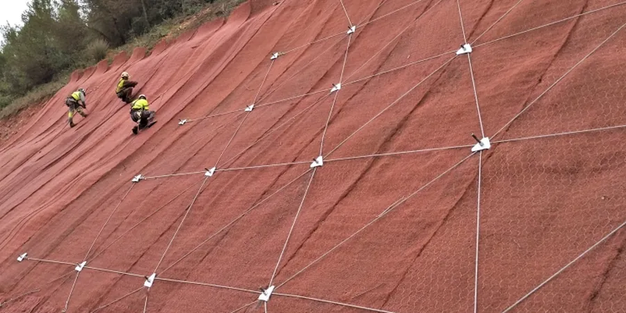
Local considerations
Swords transformed from a village of 4,000 people in the 1990s to a town of over 40,000 today, and that breakneck expansion pushed housing developments right up against the steep banks of the Broadmeadow floodplain — slopes that were never engineered, just left as rough cuts from the original field boundaries. The biggest threat in these settings isn't a dramatic collapse; it's the slow, progressive creep of the weathered till mantle toward the watercourse. Homeowners notice it first as hairline cracks in blockwork, then as sticky doors and windows, and by the time a surveyor arrives, the movement has already compromised the foundation bearing stratum. The risk compounds where builders placed fill over soft alluvial silts without proper compaction, a practice common in the Lower Rathbeale area during the 1980s. A properly executed slope stability analysis maps the rupture surface, quantifies the residual strength parameters, and gives the design team a defensible factor of safety before the local authority will sign off on remedial works or new construction within the zone of influence.
Frequently asked questions
What does a slope stability analysis for a site in Swords actually involve?
The process begins with a desk study of the Geological Survey of Ireland maps and any historical borehole records for the townland. We then plan a targeted ground investigation — usually a combination of cable percussion boreholes with SPTs and machine-dug trial pits — to sample the glacial till and the weathered shale interface. Triaxial and shear box tests in an accredited laboratory give us peak and residual strength parameters. Those values feed into a limit equilibrium model, typically using the Spencer method for non-circular surfaces, which we run under both drained and undrained conditions to bracket the worst-case scenario.
How much does a slope stability assessment cost for a typical residential site in Swords?
For a standard residential plot requiring a cut or fill slope assessment, the combined investigation and analysis usually falls within €1.000 to €3.250, depending on the number of boreholes needed and the complexity of the groundwater model. Larger commercial or multi-unit schemes with deeper cuts and more stringent monitoring requirements will sit at the upper end of that range or beyond, and we provide a fixed-price proposal after the initial site walkover.
How long does the analysis take from site investigation to final report?
The field investigation phase typically takes two to three working days on site in Swords, with laboratory testing requiring an additional ten to fourteen days for triaxial consolidation and shear stages. Once the lab data is available, the limit equilibrium modelling and report drafting take five to seven working days. From mobilisation to final signed report, most projects are completed within four to five weeks, though we can accelerate the programme for urgent planning submissions.